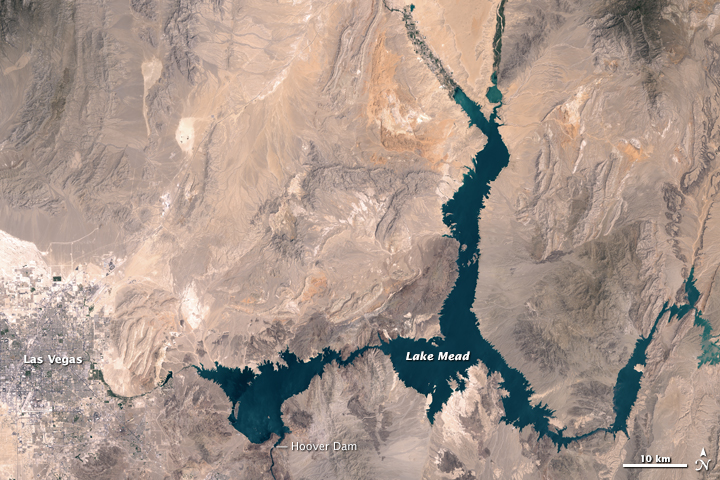
Lake Mead's Water Levels Drop Drastically Amid Persistent Drought, NASA Satellite Images Reveal
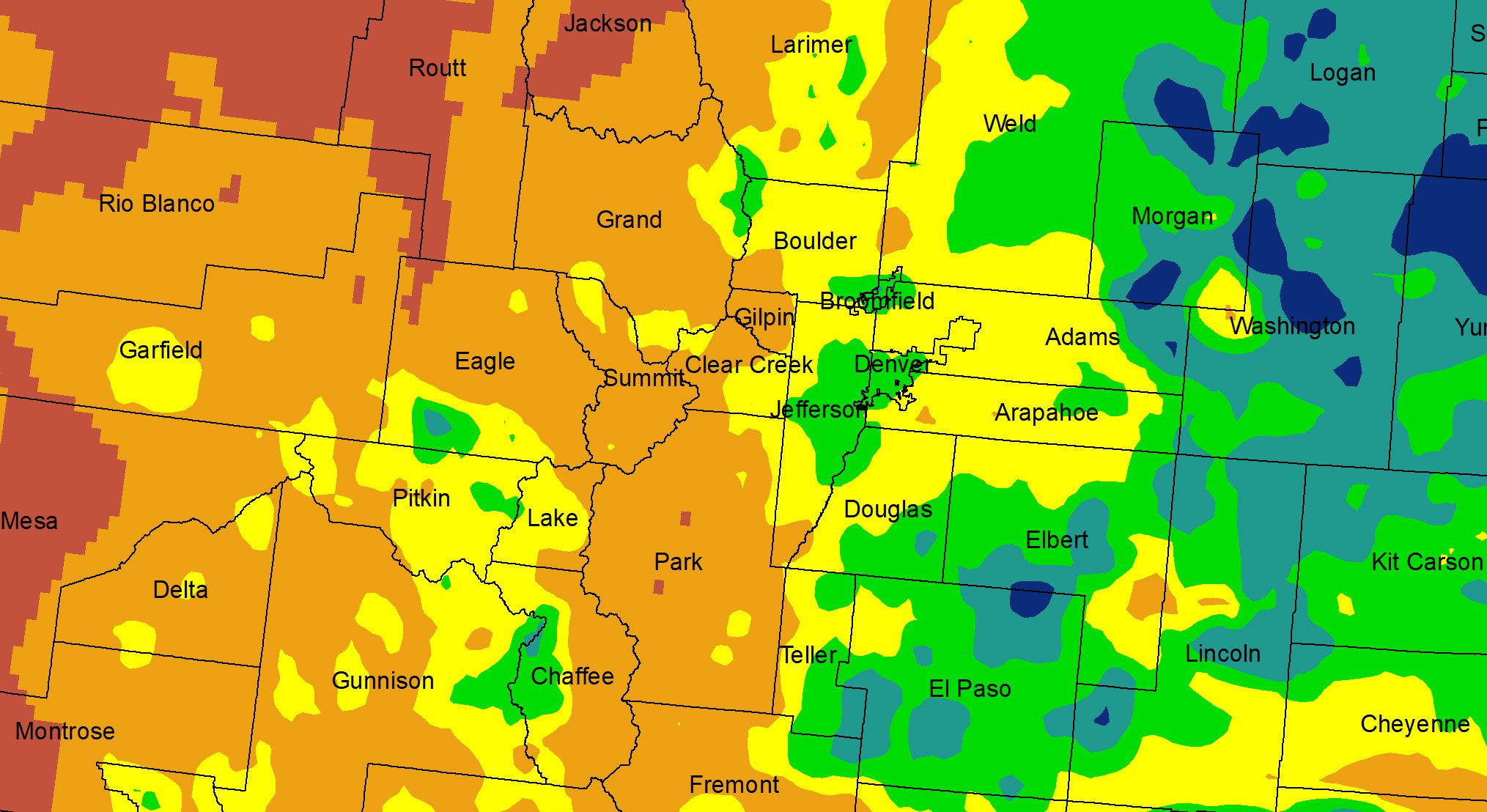
Global groundwater maps improve drought monitoring, revealing unnoticed droughts worldwide.
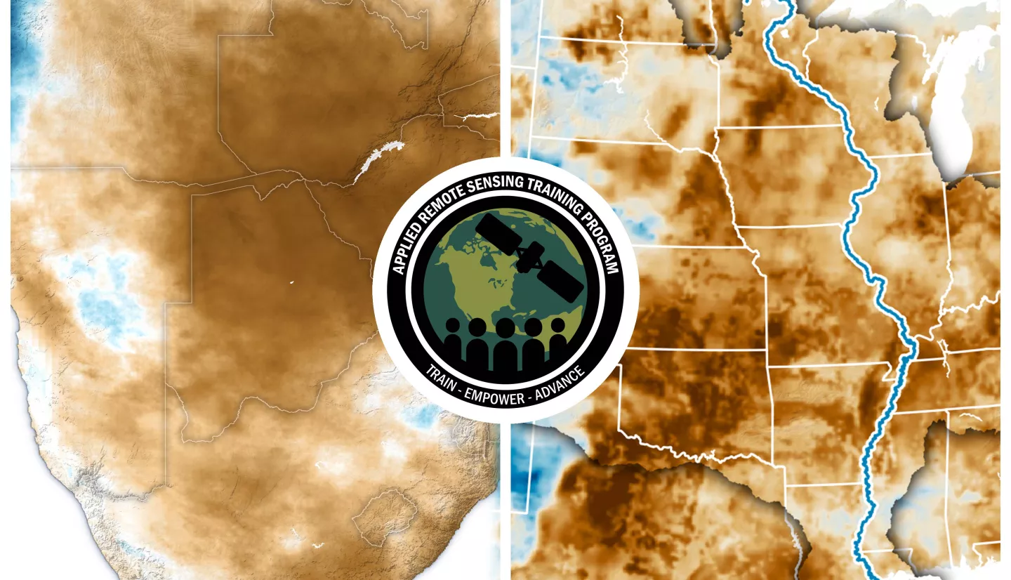
Advanced training on drought monitoring and prediction analysis by the Nasa Data.
In April 2024, a slow-moving storm brought heavy rain and flash flooding to the UAE, particularly in Jebel Ali.
Weeks of heavy monsoon rains flooded farmland and hundreds of villages along the Sutlej River in Pakistan and India in August 2023.
In April 2024, heavy rain and snowmelt caused severe flooding in southern Russia and northern Kazakhstan, displacing 200,000 people.
This advanced webinar offers hands-on training using MODIS, VIIRS, SeaDAS, and SeaBASS data to assess coastal water quality.
This image illustrates global sea surface height changes (1992-2019) using TOPEX/Jason satellite altimetry data, highlighting rising and falling regions.
This webinar teaches advanced satellite image processing to track water quality indicators like harmful algal blooms and chlorophyll-a.